
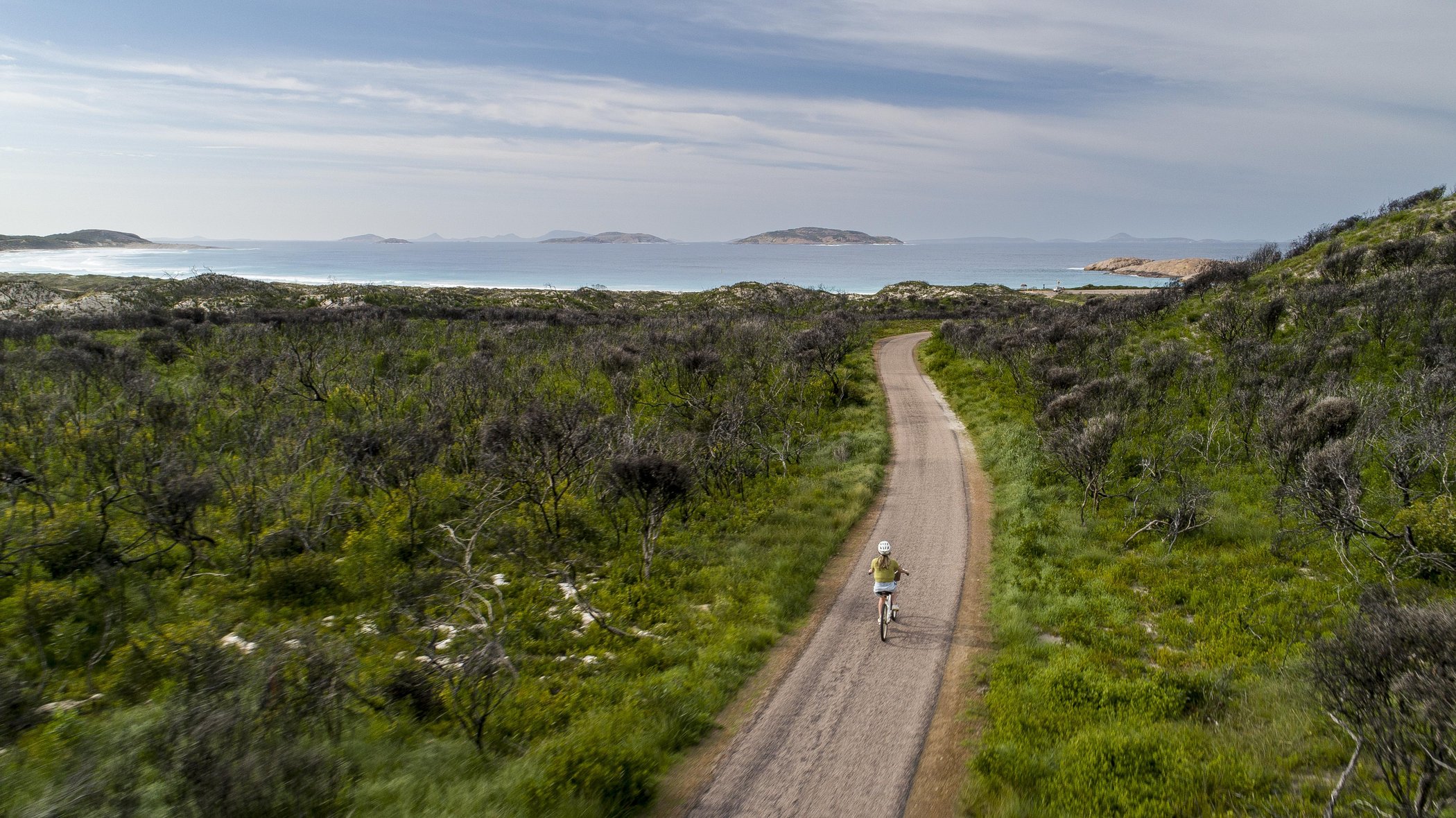
This is where you find your element. Granite underfoot, wind off the ocean, the warmth of the sun on your back, out on the trails is where Esperance reconnects you with your natural self. Phone reception drops out once you're off the main route, so make the most of it. There's nothing quite like being properly disconnected for a while.
Walking tracks trace the town's foreshore and climb to granite headlands, push deep into national park coastline, and wind through wetlands thick with birdlife. Cyclists share many of the same paths around the bay, and out on the Esperance Lakes, a quiet paddle opens up a different side of the region again.
From short, easy strolls to multi-day coastal hikes, the trails below cover bush, beach and wetland country right across Esperance and the national parks around it. Whatever pace you're after, there's a way to see it on foot, by bike, or from a kayak.
Before You Go
Many of these trails run through remote country with little to no phone reception. A bit of preparation goes a long way:
- Carry plenty of drinking water and snacks, especially on the longer or more remote tracks.
- Pack a basic first aid kit, a hat, sunscreen and insect repellent.
- Tell someone your route and expected return time, and where you can walk with a companion.
- Beware of snakes - Tiger snakes and Dugites are both poisonous and common especially during Spring.
- Stay on marked trails. It protects the bush and keeps you on the safest path underfoot.
Esperance Town Area
Start close to home. The Esplanade follows Esperance Bay from Castletown Quays to the Port Authority Park, flat and sealed enough to walk or ride the whole way, passing playgrounds and heritage information panels along the foreshore. From there, a network of four named, colour-coded tracks climbs Dempster Head: the Rotary Walk loops up to the lookout itself, the Taananeditj Summit extends further again for views over West Beach and a good sunset spot, the Lovers Cove Trail passes the Southern Ports lookout on its way down to a swim or a fish at Lovers Cove Beach (take care on the final granite section when it's wet), and the West Beach Link connects the headland back to the Great Ocean Trail and the town centre.
For something longer, the Great Ocean Trail picks up the coastline on the south side of town and runs all the way to Twilight Beach, a well-made, sealed track popular with walkers, runners and cyclists alike, with beach car parks along the way giving you plenty of options for a shorter loop. And for a change of pace, the Salmon Beach Wind Farm Heritage Trail loops around the site of Australia's first commercial wind farm, taking in the six former turbine sites and a lookout tower with elevated views along the coast.
Going in the opposite direction, from the carpark at the end of Castletown Quays, follow the Baarndi trail along the Esperance Bay on a flat easy path to Summy’s Park at Bandy Creek (1.5km); then cross the small bridge past the angling club, and around to the other side of the Creek and to the boat harbour (another 1.5km). Or walk through some bushland to Bandy Creek Road and turn left to get to Lucky Bay Brewing (1.5km from Summy’s Park)

Woody Lake Nature Reserve and the Esperance Lakes
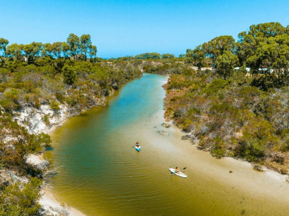
A short drive from town, this network of wetlands is where the trails turn to water. On foot, the Kepwari Walk Trail (Kepwari is the Wudjari Nyungar word for "place of moving water") winds past bird hides and seating, sheltered from the wind - an easy, family-friendly outing (insect repellent is worth packing).
On the water, the Esperance Lakes Canoe Trail is a relaxed paddle through the same system, linking Lake Wheatfield, Woody Lake and Windabout Lake. Launch from the Woody Lake boat ramp or the Lake Wheatfield car park, and follow the reflective markers set every 200 metres or so. June to December, when water levels are highest, is the best time to get out on it.
Woody Island
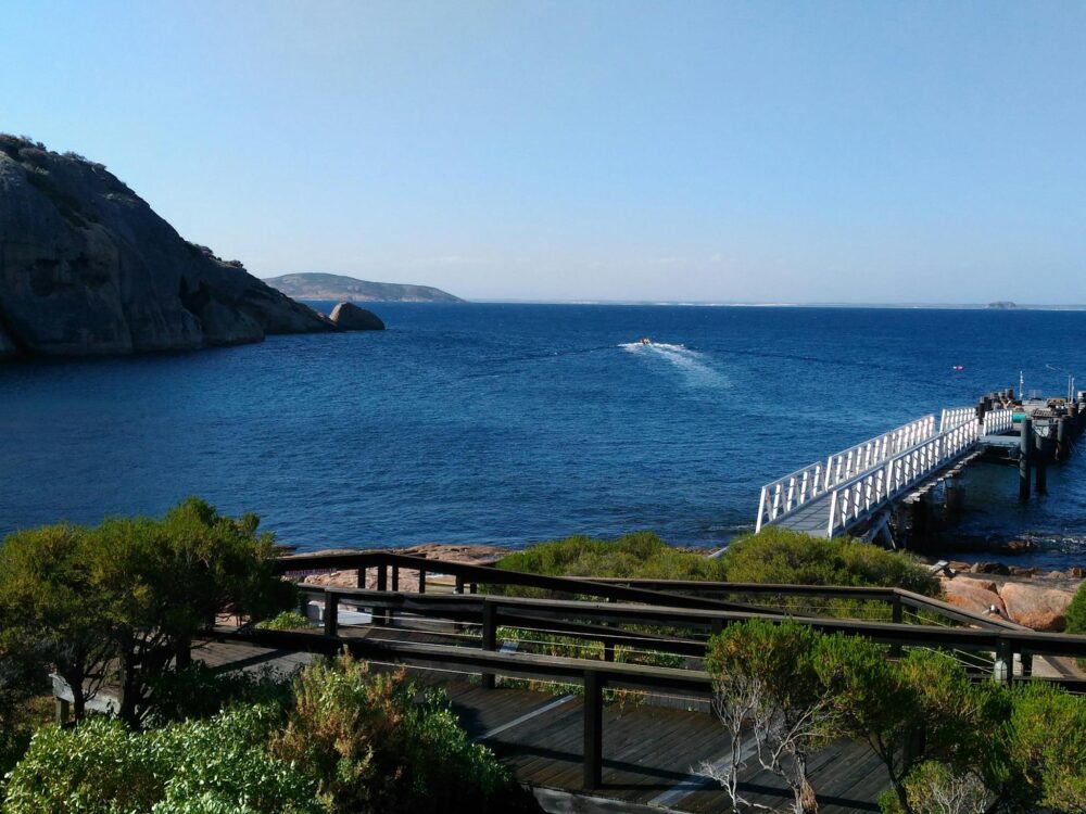
The only island in the Recherche Archipelago with visitor facilities, Woody Island is reachable by boat during the summer months. Once ashore, a handful of short walks cover the island's highlights: a stroll to Twiggy's Landing at the southern end and a Shearwater Lookout walk where flesh-footed shearwaters return to their nesting burrows at dusk through the summer breeding season; the Island Top Walk, climbing to a lookout with sweeping views over the archipelago and mainland before looping back through coastal shrubland; and on the island's quieter northern side, the Skinny Dip Bay walk over the hill past the old telephone tower that leads to the small, sheltered bay. Back at Shearwater Bay, an interpretive snorkel trail lets you take the island walks a step further, into the water.
Lake Monjingup Reserve
Just 10km out of town, Lake Monjingup Reserve is an easy outing for a picnic, a walk, birdwatching or wildflowers in season. On the western side, a wooden boardwalk winds through the paperbarks on an easy, family-friendly loop, past a sheltered display with information on the plants and animals that live there, with toilets and picnic tables on site.
Cape Le Grand National Park
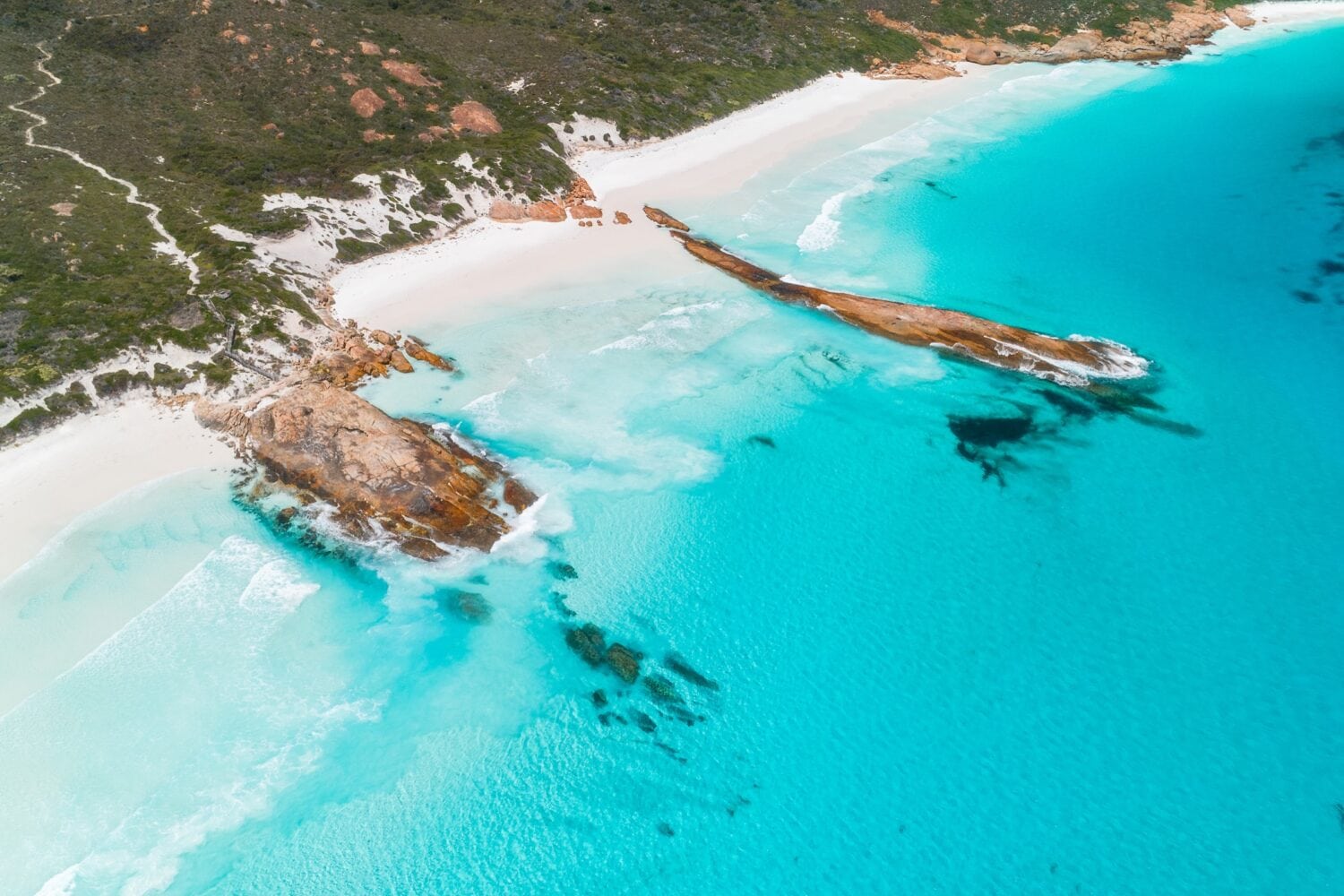
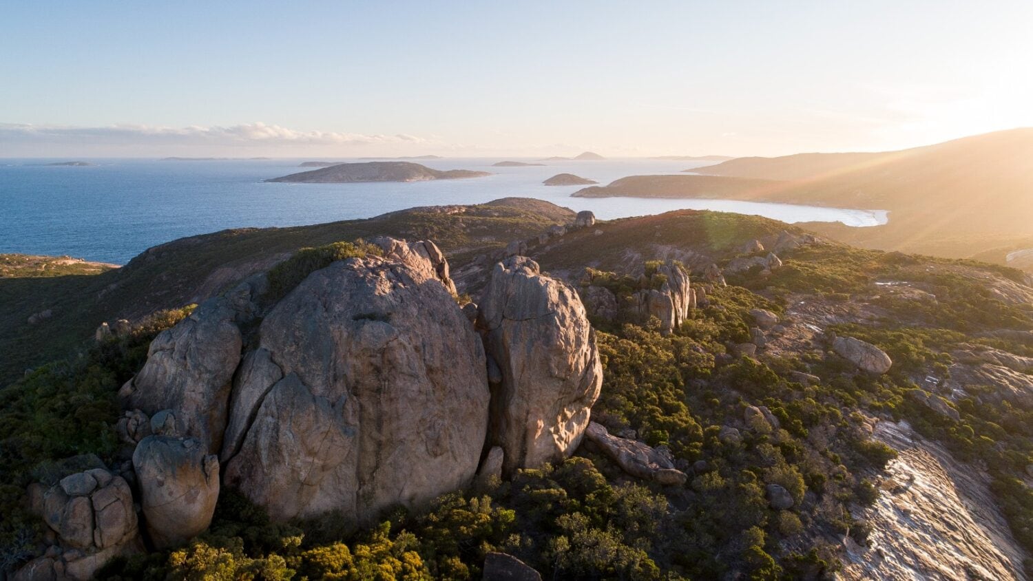
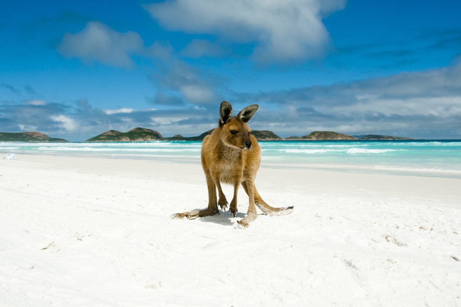
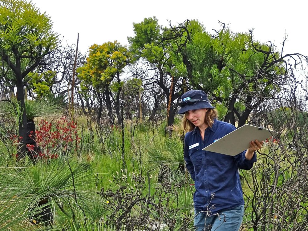
50km from town, Cape Le Grand pairs sweeping heathland with rugged granite peaks and some of the whitest beaches on the south coast. Frenchman Peak is the park's standout climb: a steep trail up the eastern slope over gravel, boardwalk and exposed granite, rewarded with panoramic views across the park, the coastline and the islands of the Recherche Archipelago. Skip it in the rain, the rock turns slippery fast, and pack a jumper even on a warm day, the cave near the summit catches the wind.
For a longer option, the Cape Le Grand Coastal Trail covers 20km one way between Le Grand Beach and Rossiter Bay, and you can start from either end. A strong walker could push through it in a single day, around eight hours of walking, but we'd recommend spreading it over a couple of days, so you've got time to take your time and enjoy the views and bays along the way. Access points at Hellfire Bay, Thistle Cove and Lucky Bay let you break it into shorter one-way sections too, just note the road from Lucky Bay to Rossiter Bay is unsealed. Spring brings wildflowers out along the whole route.
Cape Arid National Park
Further east again, Cape Arid trades Cape Le Grand's polish for genuine remoteness, open skies and rocky headlands with far fewer visitors. The Len Otte Nature Trail is the easiest introduction, a loop through woodland and thicket named after the park's first resident ranger, with views across coastal heath to Thomas River and Yokinup Bay. The Tagon Coastal Trail covers tougher ground, heath and rocky headlands with sweeping coastline views, and is a good vantage point for migratory whales between June and October.
The western approach to Cape Arid, as far as Thomas River, is 2WD accessible (check for road closures before you go). Further east, you'll need a four-wheel drive and some solid experience travelling off grid.
Around Mount Arid you'll find two trails: the easy 500m Spring Hill Trail from the car park traverses through overgrown ferns to the remains of an early 1900s homestead. Nearby the Mount Arid Trail is a tougher 7km climb from the car park to the summit, starting gently through coastal heath before a steep, loose-surfaced push to the top. Both trails are beach access only, so beach-driving experience is essential.
Mount Ragged (Tower Peak) is for the confident four-wheel driver and keen hiker only, reached via a rough, sandy track off Fisheries Road. It's a tough, steep climb to the 594m summit with some granite scrambling, rewarded with sweeping views and excellent birdwatching. Basic camping is available at the base.
Stokes National Park
Stokes National Park is built around one of the most picturesque estuaries on the south coast, and a great spot for fishing, camping, bushwalking and birdwatching alike.
The Stokes Inlet Heritage Walk Trail runs in two sections, from Benwenerup Campground to the Stokes Picnic Area, with observation decks along the way giving sweeping views over the estuary.
Section 1 is an easy 1.4km walk through mallee heath to a small car park, wheelchair accessible with assistance and with a bench at the halfway point, taking in ancient Zamia plants and interpretive signage on their history. From the car park, the trail climbs a limestone ridge before steps lead down to the day use area in Section 2, with further signage on the history and formation of Stokes Inlet.
Munglingup Beach
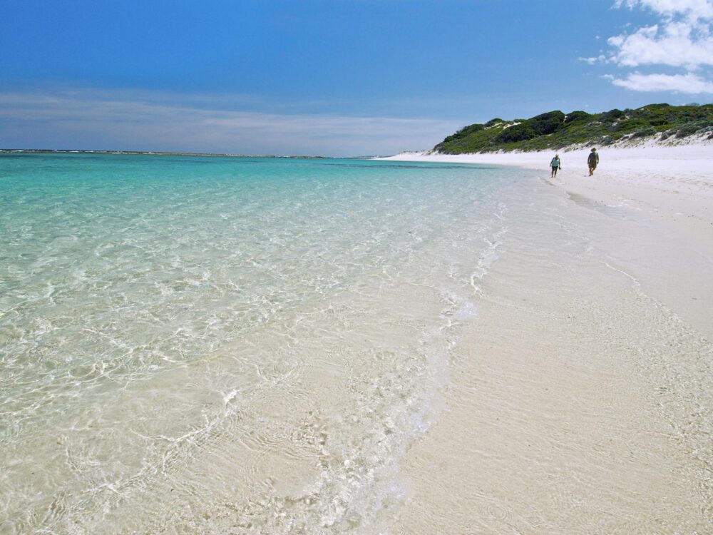
130km from Esperance, the Oldfield River Estuary Walk Trail follows the river out to its mouth, which can burst through to the ocean after heavy rain. It's an easy-to-follow, if lightly marked, 6km return walk of around two hours, and once you reach the beach you can continue on to Munglinup Beach itself.
Munglinup Caravan Park and Munglinup Beach Campground are both nearby if you want to make a night of it
Peak Charles National Park
Inland from the coast and visible for more than 50 kilometres in every direction, Peak Charles stands apart from Esperance's other national parks, both in its granite scale and in drawing experienced rock climbers to its steep eastern face, which offers quality climbs up to 300 metres.
On foot, the walk to the summit runs in three stages of increasing difficulty: an easy, well-defined section to Mushroom Rock, a steeper, loose-surfaced push to the Central Ridge, and from there a genuinely difficult climb to the summit itself, requiring hand and foot placement in crevices and a crab-crawl descent in places. Only attempt the final stage if you're an experienced, well-equipped climber.
Stay overnight at the Campground at the bottom and wake up to magnificent views of the granite. 4WD recommended.
Plan Your Route
Camping at one of the national parks along the way? Our guide to Bush Camps and National Parks has campground details and how to book.
Working out the best time of year to go? Our Seasons guide covers wind, whales and wildflowers through the calendar, and our dedicated Wildflowers guide digs into the region's best wildflower trails and hotspots in full.
Keep exploring
Explore local art galleries, culture, maritime history, and unique artisan shops showcasing regional talent.
Fall asleep to the sound of the ocean and wake to white sand. Discover beach, bush and national park camping across the Esperance region.
Browse Esperance’s markets, the heritage shops of The Market Village and local makers. Find something handmade, homegrown and made in Esperance to take home.
Esperance has hundreds of islands, reefs and sandbanks that when conditions are right, can offer good surfing waves.