
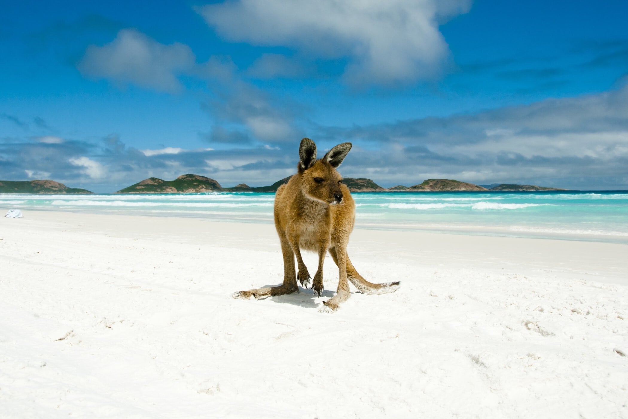
West of Esperance Kepa Kurl, the South Coast Highway runs through farmland and bush towards Ravensthorpe and Albany, with quiet inlets, estuaries and beach camps tucked away along the coast. For many visitors, this is the way in, so it's worth taking your time on the approach.
Coming in from the west, Ravensthorpe and Hopetoun, just beyond the Esperance Shire, are the gateway to Fitzgerald River National Park. Munglinup sits 130km west of town, where a river meets the ocean, and is the natural boundary between Esperance and Ravensthorpe shires (Munglingup town is on the Ravensthorpe shire, whereas Munglingup Beach is found on the Esperance side). Stokes National Park, 80km west, makes an easy day trip from Esperance or a peaceful overnight stop on the way in. Services are spread out along the way, so fuel up and stock up whenever you can.
Ravensthorpe, Hopetoun and Fitzgerald River
If you're driving in from Perth or Albany, you'll pass through Ravensthorpe on the South Coast Highway, with the coastal town of Hopetoun a short detour south. Both make good places to stop, stretch your legs and stock up on the way in, or to break the journey overnight. You'll find a country pub for a meal and a cold drink, and caravan parks in both towns, including beachside options in Hopetoun.
Hopetoun is also a gateway to Fitzgerald River National Park, known for its rugged coastline and wildflowers. If you have time on the approach, it's a worthwhile side trip before the final stretch into Esperance, and campgrounds such as St Mary Inlet and Four Mile let you stay a night or two in the park.
Munglinup and the Oldfield River
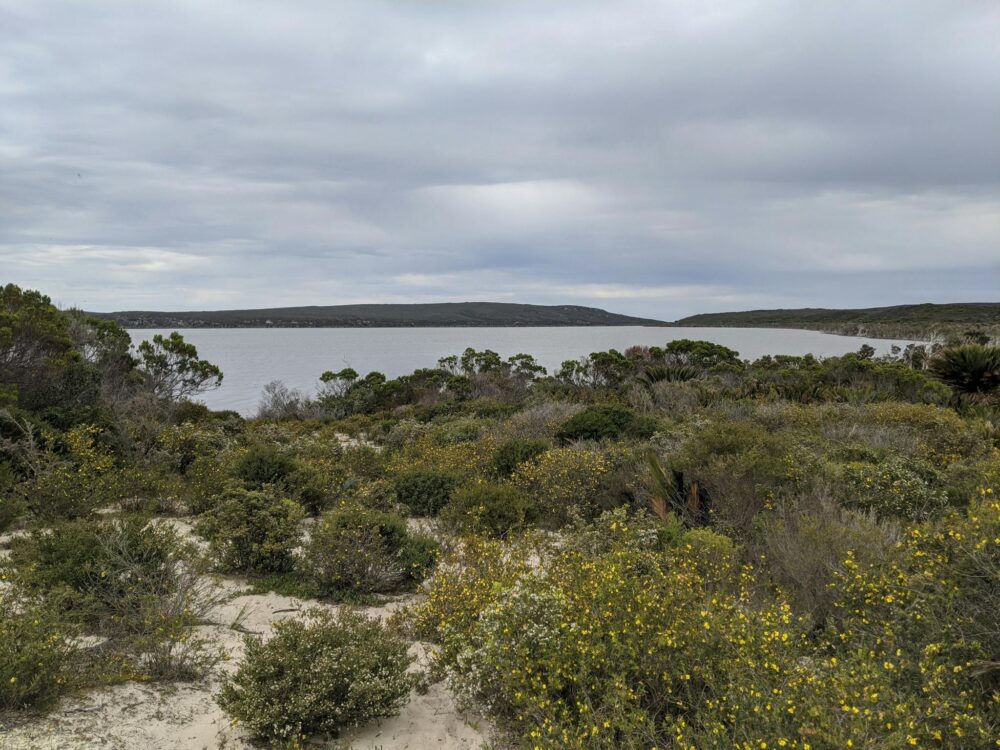
Around 130km west of town, Munglinup is where the Oldfield River winds down to meet the Southern Ocean. The Oldfield River Estuary Walk Trail follows the river to its mouth, about 6km return or two hours on foot. After heavy rain, the river can burst through the sand bar to the ocean. The trail is lightly marked but easy to follow, and carries on to Munglinup Beach.
With Munglingup Caravan park and Munglingup Beach campground close by (both payable at the Caravan Park) it's an easy place to break the drive or settle in for a few quiet days by the water.
Stokes National Park
About 80km west of Esperance, Stokes National Park is built around Stokes Inlet, a broad estuary fringed with paperbarks and backed by coastal heath and dunes. It's a place for fishing, camping, bushwalking and birdwatching, and for spotting kangaroos, emus and, if you're lucky, a tiny honey possum.
Benwenerup campground and picnic area is 2WD accessible and the easiest way in, with bookable sites and the Stokes Inlet Heritage Walk Trail, which follows the inlet past observation decks and interpretive signage. With a 4WD, tracks lead on to the remote coastal campgrounds at Skippy Rock, Shoal Cape and Fanny Cove, which are first come, first served.
A WA Park Pass is required, and dogs and fires aren't permitted. For more on the park, see National Parks.
Quagi Beach
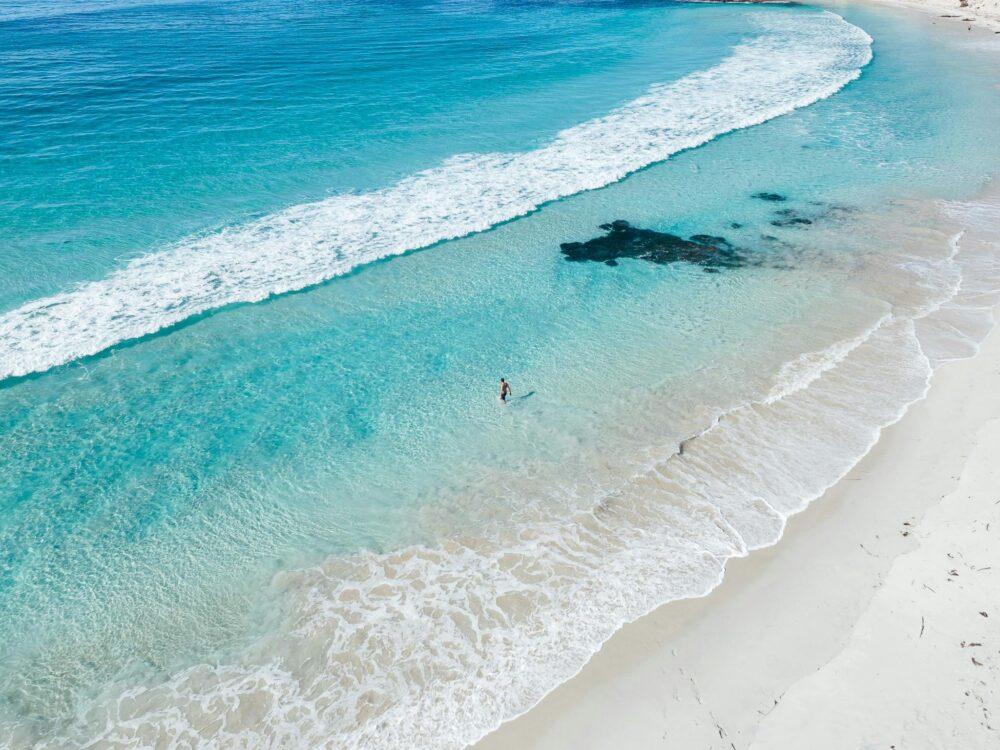
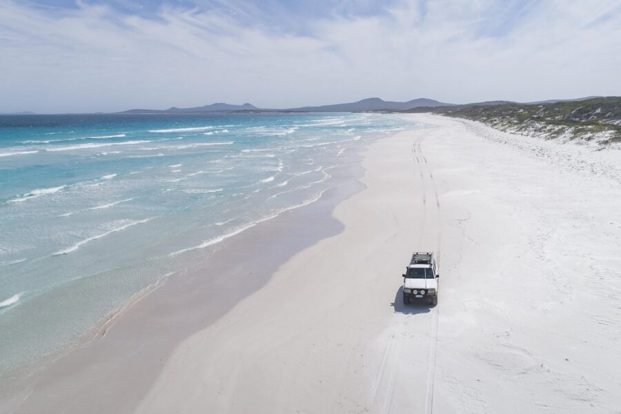
Heading on towards town, you'll find Quagi Beach, a quiet stretch of coast with a Shire-managed beach campsite, a favourite for those who like their camping simple and close to the water. Bring everything you need, including your own firewood (fires are banned from 1 November to 30 April) and water, and take all your rubbish home with you.
Find & Book
Plan our Trip
Curated trips to get you started.
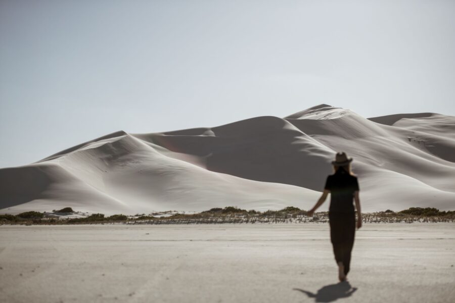
Embark on an unforgettable journey through Esperance’s breathtaking landscapes on this 3-day, self-guided hiking adventure.
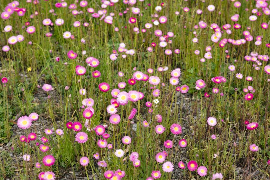
This trail takes you through seven of the region’s best wildflower spots, starting right in town and working out into the bush.
Frequently Asked Questions
About 50km south-east of Esperance, on sealed roads all the way. It’s an easy day trip in any vehicle.
Not for Cape Le Grand, which is sealed to the park. In Cape Arid, the western side is 2WD accessible as far as Thomas River (road closures permitting), while the eastern side, Mount Ragged and Israelite Bay are 4WD only.
Yes. A WA Park Pass is required to visit Cape Le Grand and Cape Arid national parks. A day pass can be purchased at the gate on the day of your visit. Longer passes need to be purchased prior to your visit, either online or from a reseller like the Esperance Visitor Centre.
There’s camping at Lucky Bay and Le Grand Beach in Cape Le Grand National Park (book ahead through Parks WA), campgrounds throughout Cape Arid National Park (first come, first served), two caravan parks (Orleans Bay and Dunns Eco Park), and farm stays and retreats around Merivale.
You might, if you’re lucky. Kangaroos live in the park, but sightings aren’t guaranteed. If you do see one, keep your distance and never feed or touch them.
Dogs aren’t permitted in national parks, including Cape Le Grand and Cape Arid. Duke of Orleans Bay and Wharton Beach are dog-friendly.
Fires aren’t permitted in national parks, so pack a gas stove.
Spring brings wildflowers to Cape Le Grand, whales pass the Cape Arid coast from June to October, and summer is beach season. Campgrounds book out well ahead in peak season.
Keep exploring
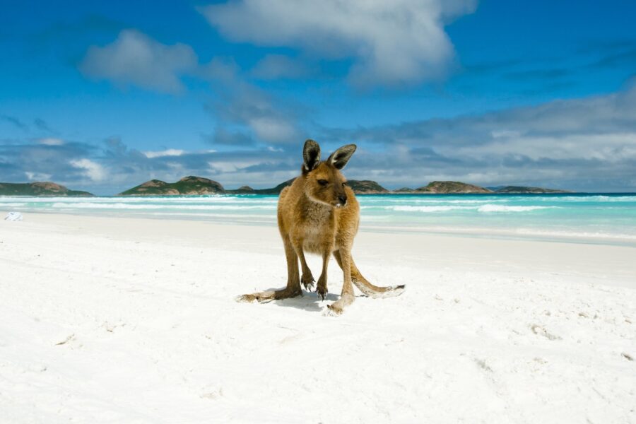
From scenic road trips through the region, to what to do on a rainy day, find a ready-made plan to suit your time and travel style.
Accommodation in Esperance embodies the coastal lifestyle; grounded and understated, offering a window to the outdoors and an invitation to explore.
Plan where to eat and drink in Esperance: coffee, bakeries, cafes, dining out, takeaway and pubs, plus tips for picnics and days out.